Professional Insight: Aerial drone photography editing for property listings (2025 Edition)
Posted on 2025-12-01 by Wheeledit Team

Introduction
The real estate landscape in 2025 is unforgiving. In major markets across the US, UK, and Australia, the "digital curb appeal" war is being fought before a buyer ever steps foot on the pavement. With inventory fluctuating and buyer expectations at an all-time high, a standard eye-level photo is no longer enough to stop the scroll.
Drones have become a staple in property marketing, but owning a drone isn't the competitive advantage—knowing how to present that footage is. Aerial drone photography editing for property listings has shifted from a "nice-to-have" luxury to a critical component of a high-converting sales funnel. It allows agents to showcase context, land size, and lifestyle in a single frame.
However, a raw drone shot is rarely listing-ready. It’s often flat, hazy, or poorly lit. The difference between a listing that sits and a listing that sells often comes down to the quality of the post-production.
The Hidden Cost of DIY (Do It Yourself)
For many Real Estate Agents and emerging Photographers, the temptation to handle editing in-house is strong. The logic usually stems from a desire to save money. However, when viewed through a business lens, DIY editing is often an expensive mistake.
1. The Opportunity Cost of Time Every hour you spend color-grading a sky or removing a neighbor’s trampoline from an aerial shot is an hour you are not prospecting, hosting viewings, or shooting the next property. If your billable rate as a photographer or your commission breakdown as an agent is calculated hourly, you are likely the most expensive editor you could hire.
2. Brand Dilution Inconsistent lighting, oversaturated greens, or "fake-looking" skies damage your brand reputation. High-end clients expect a cohesive visual narrative. If your aerial shots look amateurish compared to your interior shots, it signals a lack of attention to detail to potential sellers.
3. Scalability Issues You cannot scale a service business if you are bottled-necked by post-production. To grow from 10 listings a month to 50, you must detach your personal time from the deliverable.
Why Aerial drone photography editing for property listings Drives Higher ROI
Strategic post-production does more than make a picture "pretty"—it is a direct driver of Return on Investment (ROI). When we look at Aerial drone photography editing for property listings, we are looking at a tool that increases perceived property value.
Here is how professional editing integrates into the wider marketing ecosystem:
- Total Property Listing Optimization: Algorithms on Zillow, Rightmove, and Domain favor listings with high engagement. A striking, professionally edited aerial cover photo increases click-through rates (CTR). The more clicks you get, the higher the platform ranks your listing.
- Contextualizing the Sale: While 3D walkthrough real estate tours are excellent for showcasing the interior layout, they fail to show the neighborhood amenities. Professional aerial editing highlights proximity to schools, parks, and water bodies without the visual clutter of cars or construction.
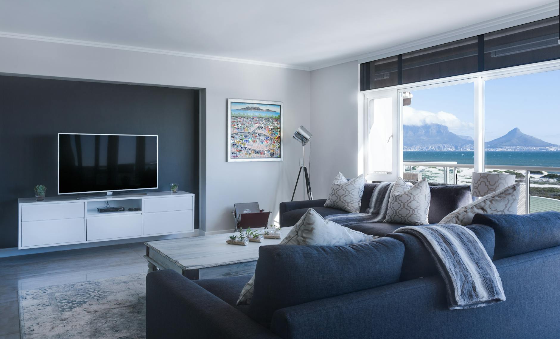
- Cohesive Real Estate Photo Editing: Your marketing package must tell a story. If the interior photos are bright and airy, but the drone shot is gloomy because it was shot on an overcast day, the narrative breaks. Professional editors ensure the color temperature and exposure of aerial shots match the ground-level photography perfectly.
What Defines "Premium" Quality?
Not all editing is created equal. At Wheeledit, we see thousands of raw files every week. The difference between a "budget" edit and a "premium" edit is distinct and impacts the final sale price.
Here is what you should demand from your post-production team:
- Intelligent Object Removal: It’s not just about removing the drone pilot from the reflection. It’s about cleaning up construction debris, removing unsightly bins, or patching patchy grass to show the lawn’s potential.
- Day-to-Dusk Conversion: Aerial twilight shots are incredibly difficult to shoot live due to drone regulations and lighting windows. Premium editing can take a daylight drone shot and convert it into a high-value "golden hour" sunset image, adding thousands to the perceived value of the home.
- Lot Line Visualization: Precise, elegant outlining of property boundaries is essential for acreage or complex plots. This requires steady hands and an understanding of perspective—something automated AI tools still struggle with.
- Atmospheric Correction: Removing the "haze" common in drone photography to ensure crisp, vibrant details that pop on mobile screens.
Conclusion: Work Smarter, Not Harder
In the high-stakes world of real estate, your visual assets are your currency. Aerial drone photography editing for property listings is one of the most powerful levers you can pull to increase engagement and shorten days on market.
However, mastery of the market does not require mastery of Photoshop. The most successful agents and photographers in the US, UK, and Australia understand that their value lies in client relationships and deal-closing, not in pixel peeping.
By outsourcing your post-production to a dedicated, premium agency like Wheeledit, you ensure consistent, high-end results while reclaiming the time you need to grow your business. Stop editing. Start selling.